Drones & Energy/ Utilities
Energy site management inspections are being transformed by drones.
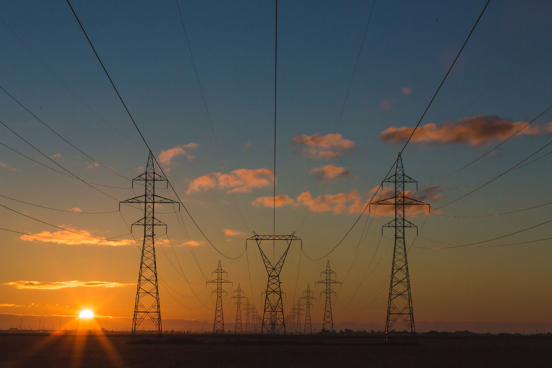
Drones are having a profound impact on the energy sector. Providing electrical, gas, water, telecommunications and related necessities over distributed grids requires sophisticated inspection and maintenance routines for maximum uptime, public safety and preservation of expensive assets.
Wind Turbines and Cell Towers
Increase inspection speed and frequency. Perform more frequent inspections cost effectively. Today’s drones can also calculate the most efficient routes and flight patterns to inspect assets faster.
Monitor changes with automatic flight routines. Leverage drone flight automation to fly the same routes repeatedly for before / after comparisons, showing where changes have occurred and where assets need attention. Leverage the data with analytics to better predict patterns of asset maintenance needs.
Capture defects more accurately. Drones can capture defects from weather and wear more accurately than the human eye, allowing for more precision maintenance activity that extends asset life.
Improve worker safety. Inspect high elevation assets from the ground and reduce safety and liability risks.
Integrate with asset management systems. Cascade drone inspection data through your existing asset management systems to streamline maintenance scheduling, manage component orders, and find problems that jBoston Concept's drone pilots are FAA certified, insured and can help with wind turbine and cell tower management.

Wind Turbines and Cell TowersIncrease inspection speed and frequency. Perform more frequent inspections cost effectively. Today’s drones can also calculate the most efficient routes and flight patterns to inspect assets faster.Monitor changes with automatic flight routines. Leverage drone flight automation to fly the same routes repeatedly for before / after comparisons, showing where changes have occurred and where assets need attention. Leverage the data with analytics to better predict patterns of asset maintenance needs.Capture defects more accurately. Drones can capture defects from weather and wear more accurately than the human eye, allowing for more precision maintenance activity that extends asset life.Improve worker safety. Inspect high elevation assets from the ground and reduce safety and liability risks.Integrate with asset management systems. Cascade drone inspection data through your existing asset management systems to streamline maintenance scheduling, manage component orders, and find problems that jBoston Concept's drone pilots are FAA certified, insured and can help with wind turbine and cell tower management.
Wind Turbine/ Cell Tower

-
Support solar farm engineering and construction. Use drone surveying and mapping to plan and construct solar farm sites. Review 2D and 3D imaging to help accurately design string locations for maximum land use and solar charging.
-
Drive higher energy yields. Perform thermal surveys of solar farms, leveraging solar string analysis to identify underperformance issues. Inspect racking & mounting, inverters, panels, site vegetation or soiling issues quickly and inexpensively at utility-scale solar farms to maximize the site’s revenue.
Solar Farms

Drone aerial imaging helps with crucial tasks that keep oil and gas pipelines, refineries and offshore rigs running smoothly, profitably and in compliance. Drones perform asset and facility inspections, industrial photogrammetry, surveying and more.
-
Safe, comprehensive inspections and maintenance. Use drones to collect thorough data on stack and flares, platforms, and pipelines without putting workers in harm’s way. Easily inspect inaccessible areas and manage maintenance to avoid downtime.
-
Fast and cost-effective Inspections at refineries and offshore sites normally take weeks to conduct, costing up to hundreds of thousands of dollars in worker hours and system downtime. Drone inspections can be conducted in a matter of hours with limited downtime.
-
Repeat flights over miles of pipelines inexpensively. Continually monitor the condition of pipelines and track changes over time by automating repeating flight patterns. Analyze anomalies and target needed maintenance actions to avoid expensive and hazardous pipeline failure.
-
Quick and thorough compliance monitoring. Drones gather real-time data rapidly and provide granular imaging, allowing organizations to ensure environmental and other regulatory compliance.
-
Use of advanced imaging tools. With drone photography and videography, refineries and rigs can leverage 3D modeling, LIDAR and industrial photogrammetry to gain deeper insights that lead to smarter business decisions.
-
Improve environmental assessments. Drones can gather comprehensive data for environmental impact assessments, allowing you to identify and avoid previously hidden problems.